Overview
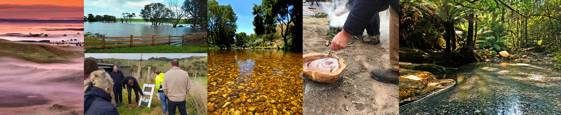
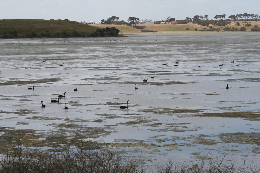
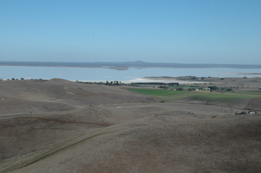
Corangamite has more than 1500 wetlands covering 63,000 ha (5% of the region). These wetlands range from large open-water saline lakes to shallow, ephemeral, freshwater meadows – many of which are rich in native flora. While 75% of the total wetland area is on public land, a large number of small wetlands are found on private land. Lake Corangamite is the largest permanent saline lake in Australia, with a surface area of 234km2 and hypersaline water – saltier than seawater.
Two wetland areas within the region, Port Phillip Bay – Western Shoreline and Bellarine Peninsula, and the Western District Lakes are recognised as Wetlands of International Importance under the Ramsar Convention. The Ramsar Convention recognises internationally significant wetlands that contain substantial biodiversity and other environmental values (including importance to waterbirds), with an agreement for their conservation. 24 wetlands in the region have been classified as Wetlands of National Importance under the Directory of Important Wetlands in Australia (DIWA). Wetlands and lakes of the Victorian Volcanic Plains were formed through volcanic craters and lava flows impacting the landscape. The diversity of the landscape and geomorphology in the area has also resulted in wide variations in salinity in the wetlands.
Wetlands are valued for the services they provide both to the environment and the community. These include biodiversity values, pollution control and detoxification, maintenance of water regimes, flood mitigation, commercial, recreation and tourism values, social, cultural, scientific and educational values. They can assist with climate change regulation through carbon sequestration.
Assessment of current condition and trends
Wetlands are among the most threatened habitats globally. While significant wetlands, from internationally-significant Ramsar sites and nationally listed Directory of Important Wetlands in Australian (DIWA) have been assessed to determine their condition, many wetlands in the region have not undergone official assessment, leading to considerable knowledge gaps in understanding the overall condition of Corangamite’s wetlands.
The condition of a wetland affects its ability to provide environmental functions and values. From the sample of wetlands tested through the state-developed first Index of Wetland Condition (IWC) assessment between 2009- 2010 (just the ones considered ‘important’), 15% were rated as excellent, 47% as good, 33% were moderate, and 5% were in poor condition (with none rated as very poor).
As pointed out in the previous Regional Catchment Strategy, there are still significant gaps in knowledge of the condition of wetlands in the Corangamite region. Research continues to close these gaps, however, and will continue to be required to help direct investments for improved wetland management.
Major threats and drivers of change
Factors that have contributed to a decline in the health and condition of wetlands and have the potential to threaten their future values include:
- accelerated erosive processes
- run-off and point-source discharge (affecting water quality)
- pest plants and animals
- uncontrolled stock access
- degraded vegetation
- climate change
- physical change (e.g. drainage, change in salinity)
- land use change (e.g. drainage of wetlands for cropping or grazing)
- water storage, diversion and extraction
- inappropriate use (e.g. inappropriate grazing regimes and cropping)
- poor waste management
- urban development and inappropriate recreational activities.
Factors threatening wetlands have been shown to be up to ten times more prevalent on wetlands on private land, than on public land. This means that while a smaller portion of the region’s (larger) wetlands are on private land, most of them are facing increased threats.